Alum Cave Trail
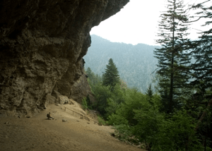
Trailhead: Two paved parking lots, 9 miles south from Sugarlands Visitor Center on US HWY 441.
Distance: 5.0 miles from US HWY 441 to lodge.
Elevation: 2,700′ up / 100′ down
Landmarks: Arch Rock, Inspiration Point, Alum Cave Bluffs
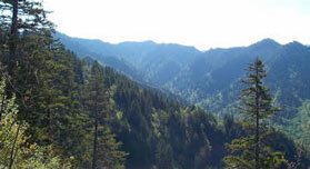
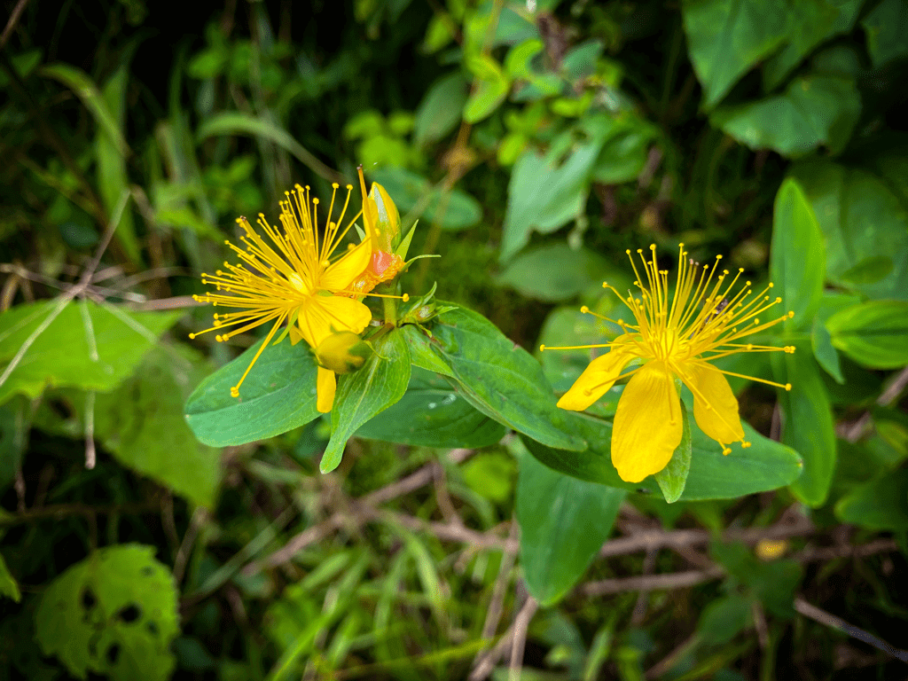
Highlights: Views south and west over the Smokies; impressive stands of Rhododendron, Myrtle and Mountain Laurel bloom in late spring; exclusive patches of Grass of Parnassus and Gentian bloom in late summer; several exposed rock ledges higher up with hand cables.
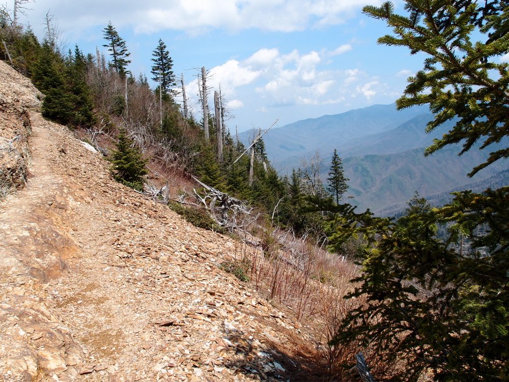
The Boulevard Trail
Trailhead: Large paved parking area at Newfound Gap where US HWY 441 crosses stateline.
Distance: 8.1 miles from Newfound Gap to lodge.
Elevation: 2,700′ up / 1,300′ down
Landmarks: Newfound Gap; historic Appalachian Trail; access to The Jumpoff; access to Myrtle Point, High Top
Highlights: Views into TN/NC; ridgetops blanketed in Spring Beauties and Trout Lilies in mid Spring; exclusive patches of Grass of Parnassus and Purple Monk’s Hood in late summer; a few exposed rock ledges higher up with hand cables.
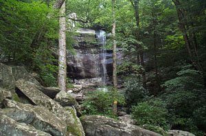
Rainbow Falls Trail
Trailhead: Two paved parking lots, 2.5 miles south from Gatlinburg on Cherokee Orchard Road.
Distance: 6.7 miles from Cherokee Orchard to lodge.
Elevation: 3,900′ up / 100′ down
Landmarks: Rainbow Falls, Rocky Spur Overlook
Highlights: Creek crossings and small pools, exposed rock formations, wildflowers in spring, stands of vibrant Red Oak in autumn, seasonal views of Tennessee Valley
Trillium Gap Trail
Trailhead: Small paved parking lot, 4.5 miles south from Gatlinburg on Roaring Fork Motor Nature Trail.
Distance: 6.7 miles from Roaring Fork Motor Nature Trail to lodge.
Elevation: 3,300′ up / 100′ down
Landmarks: Grotto Falls, Trillium Gap, access to Brushy Mountain summit
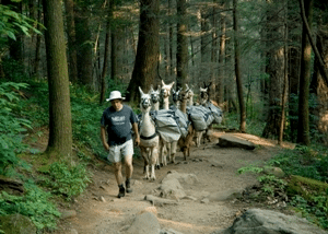
Highlights: Pack Llamas three days a week, small creek crossings, impressive stand of Spring Beauties and Trout Lilies at Trillium Gap, can double as a horse trail (day-use only)
Bullhead Trail
Trailhead: Two paved parking lots, 2.5 miles south of Gatlinburg on Cherokee Orchard Road.
Distance: 6.9 miles from Cherokee Orchard to lodge.
Elevation: 4,000′ up / 150′ down
Landmarks: The Pulpit
Highlights: Views over the West Prong and Tennessee Valley, spring and summer wildflowers, exposed rock formations
BRUSHY MOUNTAIN TRAIL
Trailhead: Small gravel parking area, 6 miles east of Gatlinburg on US HWY 321 then 4 miles south on Greenbrier Road.
Distance: 9.1 miles from Greenbrier Road terminus to lodge.
Elevation: 4,600′ up / 100′ down
Landmarks: Old Homestead, Trillium Gap, access to Brushy Mountain summit
Highlights: Porters Creek, spring wildflowers
